A recent earthquake of magnitude 3.9 struck Myanmar, according to the National Center for Seismology (NCS). The earthquake occurred at a shallow depth of 10 km, which makes it more likely to experience aftershocks. The NCS provided the details of the event in a post on X: “EQ of M: 3.9, On: 18/04/2025 02:57:43 IST, Lat: 22.51 N, Long: 96.07 E, Depth: 10 Km, Location: Myanmar.”
This follows a 4.0 magnitude earthquake that struck the country just the day before. The NCS shared this information on X as well: “EQ of M: 4.0, On: 17/04/2025 12:02:36 IST, Lat: 21.95 N, Long: 96.10 E, Depth: 10 Km, Location: Myanmar.”
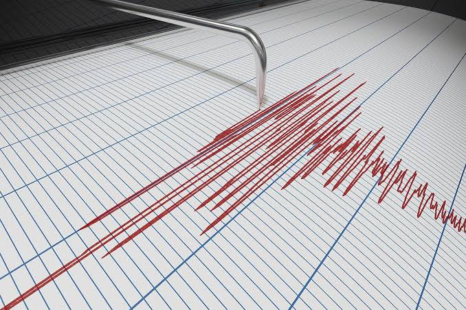
Shallow earthquakes are generally more destructive than deeper ones because they release more energy closer to the Earth’s surface, leading to stronger shaking and more severe damage to buildings and infrastructure.
Myanmar is located in a seismically active zone due to the ongoing collision between the Eurasian and Indo-Australian plates. From 1990 to 2019, the region experienced approximately 140 earthquakes of magnitude 3.0 or higher every year. This constant seismic activity poses a risk of both moderate and large magnitude earthquakes, as well as tsunamis along Myanmar’s coastline.
The Sagaing Fault is particularly concerning for several regions in Myanmar, including Sagaing, Mandalay, Bago, and Yangon, which together account for nearly half of the country’s population. Even though Yangon is situated far from the fault, its high population density makes it vulnerable to potential seismic impacts. For example, an earthquake with a magnitude of 7.0 that occurred in Bago in 1903 also affected Yangon.
In response to the recent earthquakes, the Indian Embassy in Myanmar reported that relief aid, sent under Operation Brahma, was handed over to the Chief Minister of Mandalay, Myo Aung. The aid package included various supplies such as a reverse osmosis (RO) water plant, a generator, rice, cooking oil, sugar, dal, salt, instant meals, blankets, and medicines.